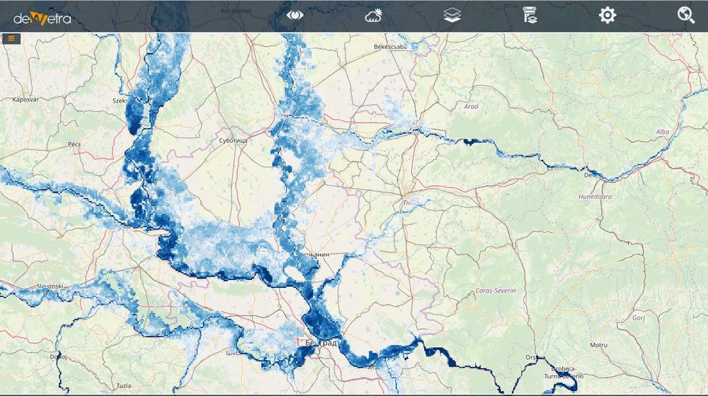
JRC Flood Hazard(eng)
From MyDewetra World
| Layer name | JRC Flood Hazard Maps | |
| Tag | Hazards | |
| Folder | ||
| Source | JRC | |
| Description | This collection contains a set of flood hazard maps, based on streamflow datafrom the European and Global Flood Awareness System (EFAS and GloFAS) and computed using two-dimensional hydrodynamic models . The European and global maps are documented in the following publications, repsectively: 1. Alfieri, L., Salamon, P., Bianchi, A., Neal, J., Bates, P.D., Feyen, L., 2014. Advances in pan-European flood hazard mapping, Hydrol. Process., 28 (18), 4928-4937, doi:10.1002/hyp.9947. 2. Dottori, F., Salamon, P., Bianchi, A., Alfieri, L., Hirpa, F.A., Feyen, L., 2016a. Development and evaluation of a framework for global flood hazard mapping. Advances in Water Resources 94, 87-102. IMPORTANT NOTE: the maps in this dataset are based on JRC modelling tools and have several limitations which should be taken into account during usage (see mentioned references for a detailed description). In particular, note that the maps might differ from official national flood hazard maps. Available maps: flood hazard maps for 10, 20, 50, 100, 200, 500-year return period More info at: JRC flood hazard maps webpage | |
| Screenshot |

