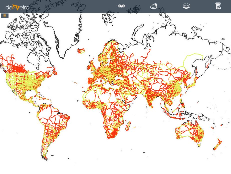
Global Roads Network ESRI(eng)
From MyDewetra World
| Layer name | Global Roads Network | |
| Tag | Exposures | |
| Folder | ||
| Source | ESRI | |
| Description | World Roads represents the major roads and ferries of the world. Derived from the Garmin (formerly DeLorme) 1:2 million scale World Database captured primarily from small scale imagery More info at: ESRI-GlobalRoads webpage | |
| Screenshot |

