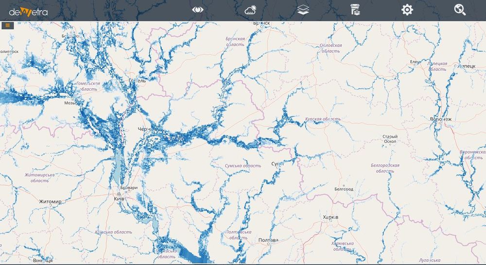
GAR Flood Hazard(eng)
From MyDewetra World
| Layer name | GAR Flood Hazard Maps | |
| Tag | Hazards | |
| Folder | ||
| Source | UNISDR | |
| Description | The Global Assessment Report on Disaster Risk Reduction (GAR) is a biennial global assessment of disaster risk reduction and comprehensive review and analysis of the natural hazards that are affecting humanity. The GAR contributed to achieving the aims of the Hyogo Framework for Action through monitoring risk patterns and trends and progress in disaster risk reduction while providing strategic policy guidance to countries and the international community. It will also be a powerful tool as the world works to implement the Sendai Framework for Disaster Risk Reduction through to 2030.
The GAR aims to focus international attention on the issue of disaster risk and encourage political and economic support for disaster risk reduction. The preparation of the GAR is coordinated and supervised by UNISDR. The GAR is produced in collaboration and consultation with a wide range of stakeholders, including various UN agencies, governments, academic and research institutions, donors and technical organizations and specialists. Available maps: flood hazard maps for 25, 50, 100, 200, 500, and 1000-year return period More info at: GAR webpage | |
| Screenshot |

