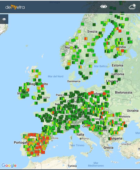
EFAS layers(eng)
From MyDewetra World
| Layer name | EFAS (all layers) | |
| Tag | Hydrological Models | |
| Folder | ||
| Source | European Flood Awareness System | |
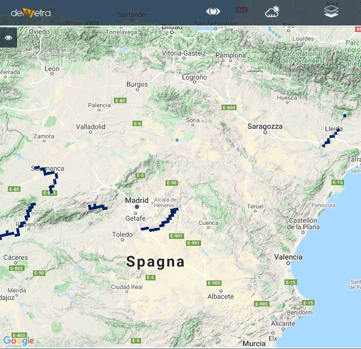
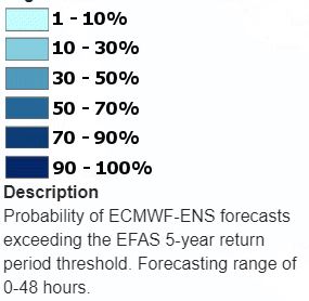
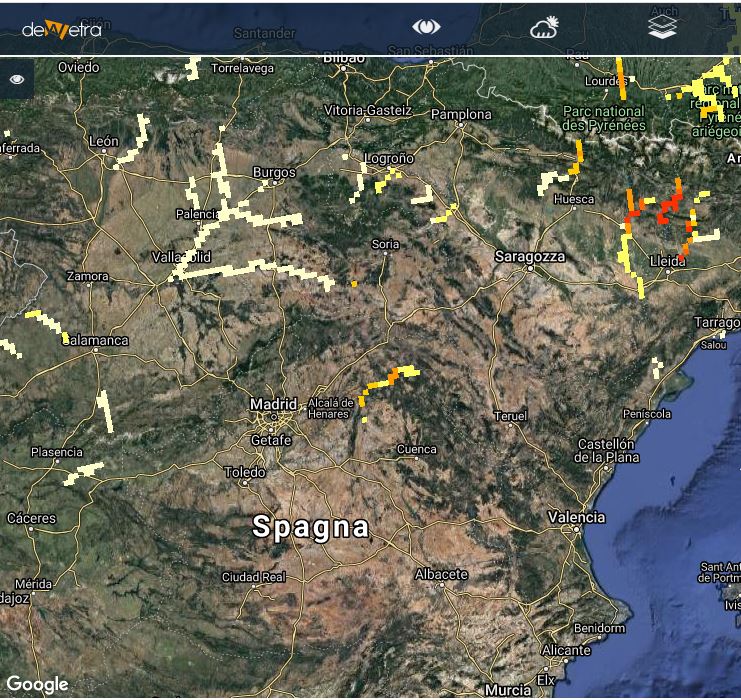
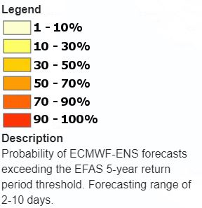
| Description | The European Flood Awareness System provides probabilistic flood forecast information more than 48 hours in advance to National Authorities. It currently incorporates multiple weather forecasts from three different weather services, real-time weather observations from more than 5000 stations across Europe and real-time hydrological stations from more than 500 stations. EFAS uses LISFLOOD as a hydrological model. LISFLOOD is a GIS-based, distributed hydrological rainfall-runoff-routing model specifically designed to be used in large scale catchments. Detailed information on its specific characteristics and example applications can be found in the User Manual or in various publications. The model is run in EFAS for all of Europe on 5km grid and either with a six-hourly timestep fed by ECMWF deterministic forecasts. More info at: EFAS documentation on line DISCLAIMER: In order to be allowed to visualize this layer, Users have to agree the terms of use with the Data Owner (please check the section "Source" in this page) | |
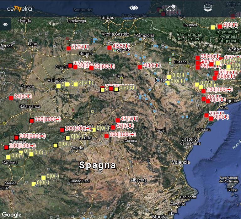
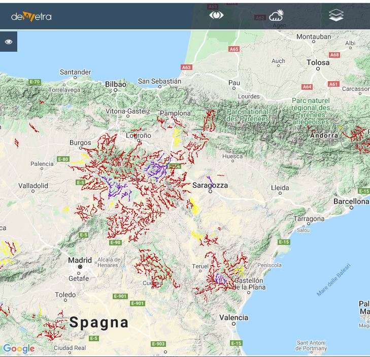
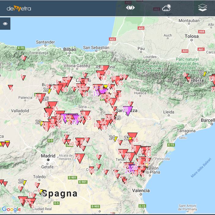
| Screenshot | ||
| Properties | ||
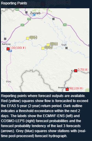
| Screenshot | ||
| Properties | ||
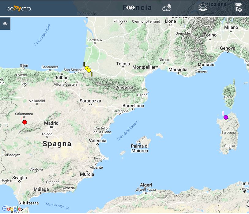
| Screenshot | ||
| Properties | ||
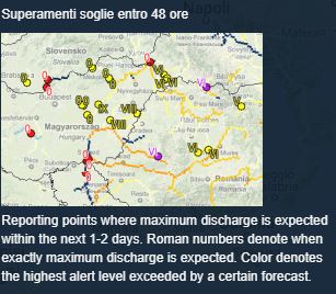
| Screenshot | ||
| Properties | ||
| Screenshot | ||
| Properties | ||
| Screenshot | ||
| Properties | ||
| Screenshot | ||
| Properties | ||
| Properties | ||
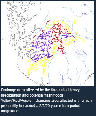
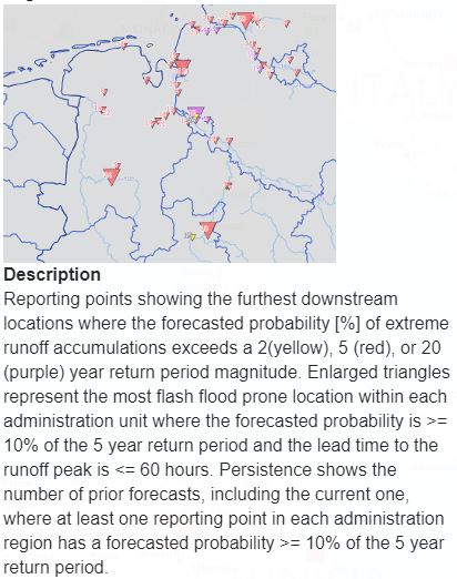
| Available variables & layers | Flood probability < 48 hours Flood Probability > 48 hours Reporting Points Threshold levels exceedance in 1-2 days ERIC Flash flood (affected areas) ERIC Flash flood (reporting points) Hydrological skill | |
| Available accumulations | ||
| Available interpolation algorithms | ||
| Available filters | ||
| Spatial aggregations |
