Affected Population
From MyDewetra World
[Home] - [back to GFM Products]
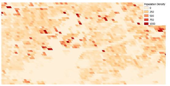
The information about the Affected Population will be extracted from the Global Human Settlement (GHS) Layer, in particular, from the GHS-POP dataset.
This data contains a raster representation of the population's distribution and density as the number of people living within each grid cell.
The information is available at various spatial resolutions and for different epochs.
For the GFM service, we will consider the dataset at 250m resolution (highest possible resolution) and for the latest available timestep, 2015.
Combining this raster data and the vectorized flood extent will allow us to provide the number of affected people by particular flood cases.
The raster grid will be provided as well.

