ASCAT Wind(eng)
| Layer name | ASCAT Wind |
| Tag | Wind |
| Folder | |
| Source | NOAA-NESDIS |
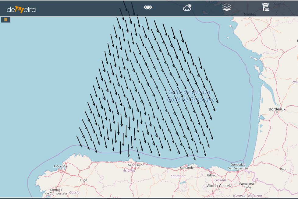
| Description | The ASCAT ocean surface winds are a 10 meter neutral stability wind. These products are processed by NOAA/NESDIS utilizing measurements from ASCAT aboard the EUMETSAT METOP satellite. The current geophysical model function (GMF) being used is CMOD5.5, where the GMF relates the normalized radar cross-section to the ocean surface wind speed and direction.
The wind vector retrievals flagged as potentially being corrupt according to the KNMI quality flag are colored in black. For closer examination of the wind fields, a data image is further divided into 30x20 degree bins between latitudes 80N to 80S and longitudes 180W to 180E, forming a HTML link map for the regions of interest. Just click on the desired geographical location and a closer look should be provided. In Europe, KNMI is responsible for the ASCAT wind products, and additional information can be found at the EUMETSAT Ocean and Sea Ice Satellite Application Facility (OSI SAF). The global wind images display the available data from the previous 22 hours up to the image creation time. More info at: ASCAT HotSpots documentation on line |
| Screenshot | |
| Properties | |
| Available variables | Wind speed and direction on the sea |
| Available accumulations | |
| Available interpolation algorithms | |
| Available filters | |
| Spatial aggregations |
