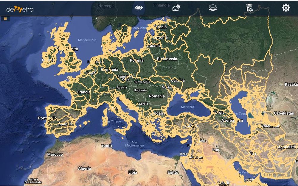
GAR Flood Hazard(eng)
| Layer name | GAR Flood Hazard Maps | |
| Tag | Hazards | |
| Folder | ||
| Source | UNISDR | |
| Description | HydroSHEDS provides hydrographic information in a consistent and comprehensive format for regional and global-scale applications. These data layers are available to support watershed analyses, hydrological modeling, and freshwater conservation planning at a quality, resolution, and extent that had previously been unachievable in many parts of the world.
It offers a suite of datasets, including stream networks, watershed boundaries, drainage directions, and other data layers such as flow accumulations, distances, and river topology information. Recently available data derived from HydroSHEDS include comprehensive layers of major basins and smaller sub-basins (~100-2,500 km2) across the globe. Access the data A set of three extensions for use with ESRI ArcView software (version 3.x) called HydroSHEDS tools are also available. Find out more and download the tools HydroSHEDS has been developed by the WWF Conservation Science Program in partnership with the U.S. Geological Survey, the International Centre for Tropical Agriculture, The Nature Conservancy, and the Center for Environmental Systems Research of the University of Kassel, Germany. More info at: GAR webpage | |
| Screenshot |
