Difference between revisions of "Affected Landcover (eng)"
(Created page with " [Home] - [Observations] <br/> {| class="wikitable" |- |style="background-color: orange;" |Layer name |style="background-color: orange;"|Af...") |
|||
| Line 30: | Line 30: | ||
|style="background-color: grey;"| Properties | |style="background-color: grey;"| Properties | ||
|style="background-color: grey;"| | |style="background-color: grey;"| | ||
| + | |- | ||
| + | |Available variables | ||
| + | |rough water surface | ||
| + | |- | ||
| + | |Available accumulations | ||
| + | | | ||
| + | |- | ||
| + | |Available interpolation algorithms | ||
| + | | | ||
| + | |- | ||
| + | |Available filters | ||
| + | | | ||
| + | |- | ||
| + | |Spatial aggregations | ||
| + | | | ||
|} | |} | ||
Revision as of 09:21, 4 August 2022
| Layer name | Affected Landcover(GFM) |
| Tag | Flood |
| Folder | Eo Satellite |
| Source | GFM Products |
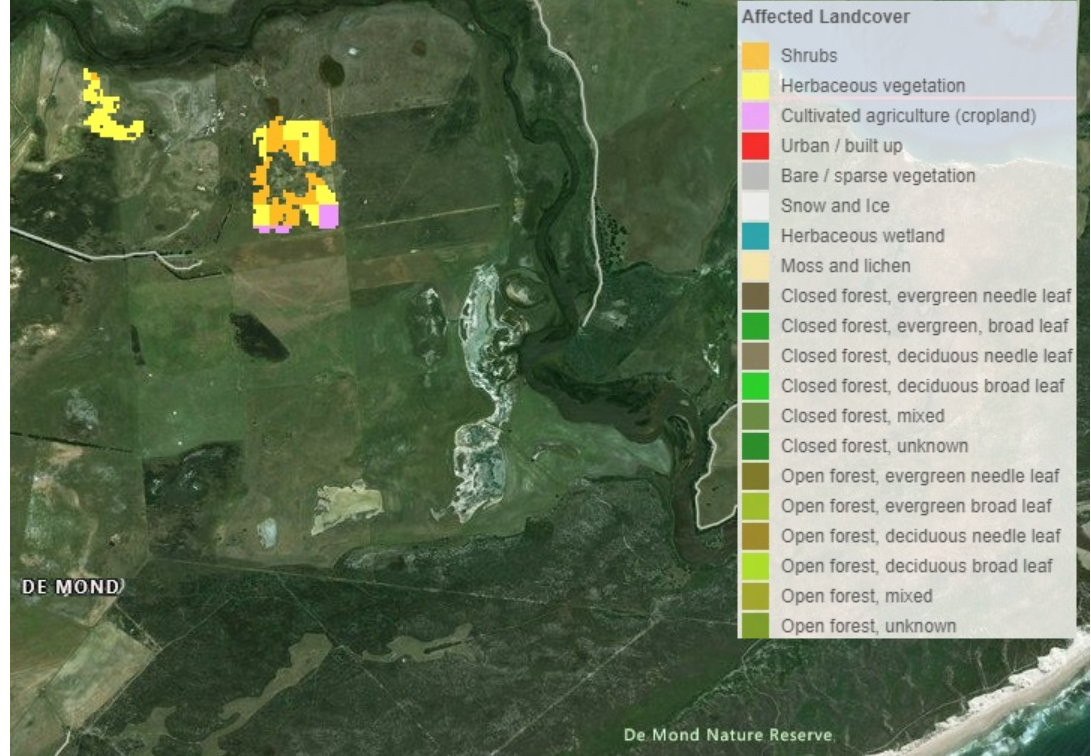
| Description | In addition to the affected population, we suggest including information about the Affected Land Cover for a particular flood case. This information can provide a first assessment of affected land cover or land use types, e.g., how much agricultural area is affected by the flood extent. |
| Screenshot | |
| Properties | |
| Available variables | rough water surface |
| Available accumulations | |
| Available interpolation algorithms | |
| Available filters | |
| Spatial aggregations |
