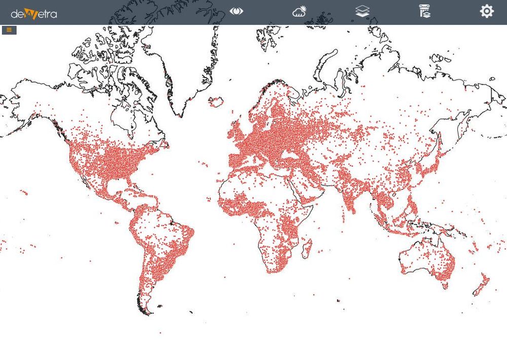
Health facilities(eng)
| Layer name | Health facilities | |
| Tag | Exposures | |
| Folder | ||
| Source | Healthsites.io | |
| Description | Global scope
The Global Healthsites Mapping Project is an initiative to create an online map of every health facility in the world and make the details of each location easily accessible. Open data collaboration
Through collaborations with users, trusted partners and OpenStreepMap we will capture and validate the location and contact details of every facility and make this data freely available under an Open Data License (ODBL)'
Accessible
We will make the data accessible over the Internet through an API and other formats such as GeoJSON, Shape files, KML, CSV Focus on health care location data
Our design philosophy is the long term curation and validation of health care location data. The healthsites.io map will enable users to discover what healthcare facilities exist at any global location and the associated services and resources. More info at: Health facilities webpage | |
| Screenshot |
