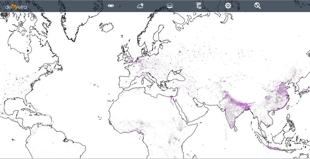
GHS POPULATION DENSITY 2015(eng)
From MyDewetra World
Revision as of 20:08, 17 November 2018 by Admin (talk | contribs) (Created page with " [Home] - [Static Layers] {| class="wikitable" |- |style="background-color: orange;" |Layer name |style="background-color: orange;"|Globa...")
| Layer name | Global Human Settlements - Density (2015) | |
| Tag | Exposures | |
| Folder | ||
| Source | JRC | |
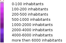
| Description | This spatial raster dataset depicts the distribution and density of population, expressed as the number of people per cell.
Residential population estimates for target years 1975, 1990, 2000 and 2015 (this is available thorugh Dewetra) provided by CIESIN GPWv4 were disaggregated from census or administrative units to grid cells, informed by the distribution and density of built-up as mapped in the Global Human Settlement Layer (GHSL) global layer per corresponding epoch. More info at: GHS webpage | |
| Screenshot |

