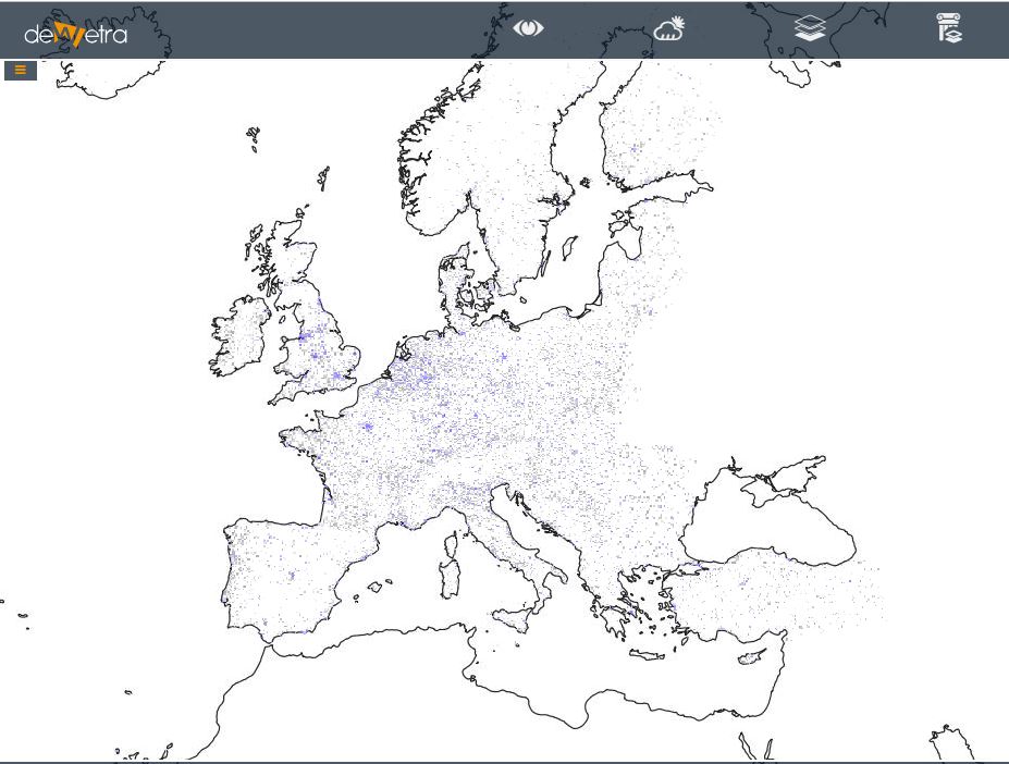
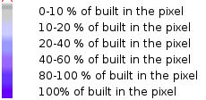
European Settlements Map10m(eng)
| Layer name | European Settlements Map | |
| Tag | Exposures | |
| Folder | ||
| Source | JRC | |
| Description | The European Settlement Map is a spatial raster dataset that is mapping human settlements in Europe based on SPOT5 and SPOT6 satellite imagery. It is published with two associated data layers. It has been produced with GHSL technology by the European Commission, Joint Research Centre, Institute for the Protection and Security of the Citizen, Global Security and Crisis Management Unit. This work has been partly financed by the Directorate General of Regional and Urban Policy, European Commission.
The European Settlement Map 2016 (also referred as 'EUGHSL2016') represents the percentage of built-up area coverage per spatial unit. The GHSL method uses machine learning techniques in order to understand systematic relations between morphological and textural (pantex) features, extracted from the multispectral and panchromatic (if available) bands, describing the human settlement. Given that the thematic content of this product is somewhat similar to the imperviousness HRL, please find a short summary table below, listing the main features and differences between the two datasets. In addition, the screenshot below illustrates the differences between the datasets with the imperviousness product in red colours in the background capturing all sealed areas, while the grey ESM building layer provides more detailed information on the built-up structures itself. More info at: ESM webpage | |
| Screenshot |

