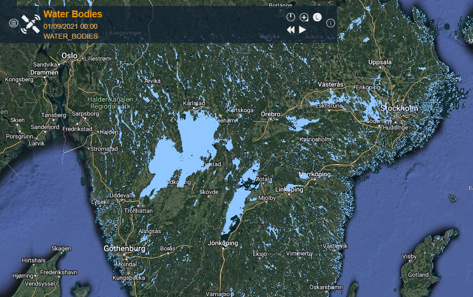
Copernicus WB(eng)
From MyDewetra World
| Layer name | Water Bodies (LSWT) (Copernicus) | |
| Tag | Land Cover | |
| Folder | Eo Satellite | |
| Source | LSWT (Copernicus) | |
| Description | The Water Bodies product detects the areas covered by inland water along the year providing the maximum and the minimum extent of the water surface as well as the seasonal dynamics.
The area of water bodies is identified as an Essential Climate Variable (ECV) by the Global Climate Observing System (GCOS). More info at: Copernicus WB documentation on line | |
| Screenshot | ||
| Properties | ||
| Available variables | Water Bodies | |
| Available accumulations | ||
| Available interpolation algorithms | ||
| Available filters | ||
| Spatial aggregations |

