Difference between revisions of "Copernicus LSWT(eng)"
From MyDewetra World
| Line 23: | Line 23: | ||
|Screenshot | |Screenshot | ||
|[[File:LSWT.png|1000px|thumb|centre|]] | |[[File:LSWT.png|1000px|thumb|centre|]] | ||
| − | |[[File:legend_LSWT.png|800px|thumb|centre|Legend]] | + | |[[File:legend_LSWT.png|800px|thumb|centre|Legend]] |
|- | |- | ||
|style="background-color: grey;"|Properties | |style="background-color: grey;"|Properties | ||
Revision as of 11:51, 4 August 2022
| Layer name | Lake surface water temperature (LSWT) (Copernicus) | |
| Tag | Land Cover | |
| Folder | Eo Satellite | |
| Source | LSWT (Copernicus) | |
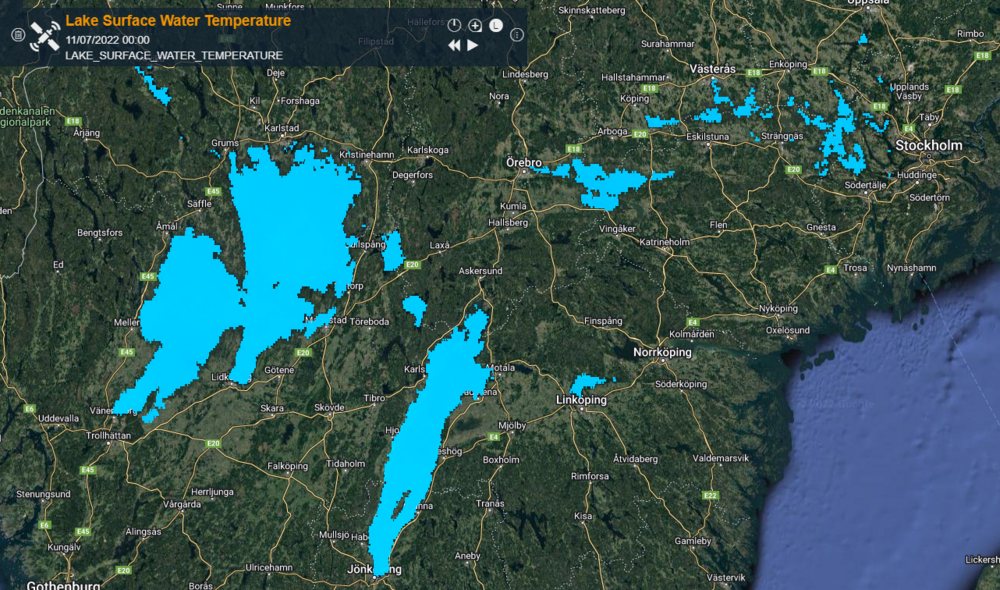
| Description | Lake surface water temperature (LSWT) describes the temperature of the lake surface, one important indicator of lake hydrology and biogeochemistry. Temperature trends observed over many years can be an indicator of how climate change affects the lake.
LSWT is recognized internationally as an Essential Climate Variable (ECV) and complements the Lake Water Quality information, in environmental monitoring of a large number of lakes globally. More info at: Copernicus LSWT documentation on line | |
| Screenshot | ||
| Properties | ||
| Available variables | lake surface water temperature | |
| Available accumulations | ||
| Available interpolation algorithms | ||
| Available filters | ||
| Spatial aggregations |

