Global Administrative Boundaries(eng)
From MyDewetra World
Revision as of 21:33, 17 November 2018 by Admin (talk | contribs) (Created page with " [Home] - [Static Layers] {| class="wikitable" |- |style="background-color: orange;" |Layer name |style="background-color: orange;"|Globa...")
| Layer name | Global Admnistrative Boundaries | |
| Tag | Basic | |
| Folder | ||
| Source | GADM | |
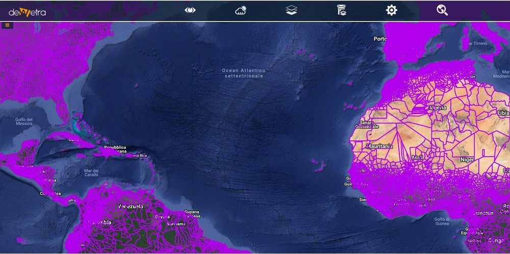
| Description | The current version is 3.6 (released on 6 May 2018). It delimits 386,735 administrative areas. You can download the spatial data by country. Downloading by country is the recommended approach. New releases are released approximately every three to six months. GADM has always had multiple unique IDs associated with a record. In the future there will be only be the GID and associated tables that link the GID to other ID systems such as ISO, FIPS, and HASC. The GID starts with the three letter ISO 3166-1 alpha-3 country code. If there are subdivisions these are identified by a number from 1 to n, where n is the number of subdivisions at level 1. This value is concatenated with the country code, using a dot to delimit the two. For example, AFG.1, AFG.2, ..., AFG.n. If there are second level subdivisions, numeric codes are assigned within each first level subdivision and these are concatenated with the first level identifier, using a dot as delimiter. For example, AFG.1.1, AFG.1.2, AFG.1.3, ..., and AFG.2.1, AFG.2.2, .... And so forth for the third, fourth and fifth levels. Finally there is an underscore followed by a version number appended to the code. For example, AFG.3_1 and AFG.3.2_1. The GID codes are presistent after version 3.6 (there were errors in the codes in version 3.4). If an area changes, for example if it splits into two new areas, two new codes will be assigned, and the old code will not be used any more. The version only changes when there is a major overhaul of the divisions in a country, for example when a whole new set of subdivsions is introduced. More info at: Global Administrative Boundaries webpage | |
| Screenshot |
