DEM EUROPE(eng)
From MyDewetra World
Revision as of 21:25, 17 November 2018 by Admin (talk | contribs) (Created page with " [Home] - [Static Layers] {| class="wikitable" |- |style="background-color: orange;" |Layer name |style="background-color: orange;"|CORIN...")
| Layer name | CORINE Land Cover (2012) | |
| Tag | Basic | |
| Folder | ||
| Source | Copernicus Global Land Service | |
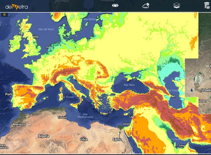
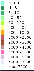
| Description | EU-DEM is a digital surface model (DSM) of EEA member and cooperating countries representing the first surface as illuminated by the sensors. It is a hybrid product based on SRTM and ASTER GDEM data fused by a weighted averaging approach. More info at: DEM europe webpage | |
| Screenshot |

