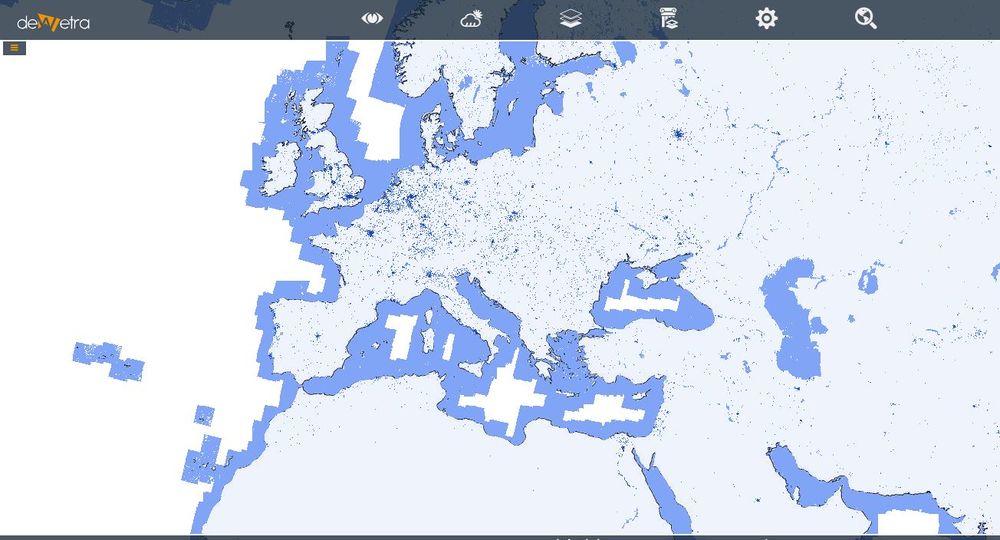
Global Human Settlements 38m(eng)
| Layer name | Global Human Settlements | |
| Tag | Exposures | |
| Folder | ||
| Source | JRC | |
| Description | The Global Human Settlement Layer (GHSL) project is supported by European Commission, Joint Research Center and Directorate-General for Regional and Urban Policy. The GHSL produces new global spatial information, evidence-based analytics, and knowledge describing the human presence in the planet. The GHSL relies on the design and implementation of new spatial data mining technologies allowing to process automatically and extract analytics and knowledge from large amount of heterogeneous data including: global, fine-scale satellite image data streams, census data, and crowd sources or volunteering geographic information sources.
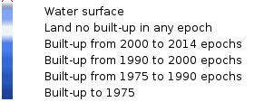
Spatial data reporting objectively and systematically about the presence of population and built-up infrastructures are necessary for any evidence-based modelling or assessing of i) human and physical exposure to threats as environmental contamination and degradation, natural disasters and conflicts, ii) impact of human activities on ecosystems, and iii) access to resources. These data contain a multitemporal information layer on bulit-up presence as derived from Landsat image collections (GLS1975, GLS1990, GLS2000, and ad-hoc Landsat 8 collection 2013/2014). The data have been produced by means of Global Human Settlement Layer methodology in 2015. The main product is the built-up are grid published in the production grid at high resolution, i.e. at around 38m in Spherical Mercator (EPSG:3857). More info at: GHS webpage | |
| Screenshot |

