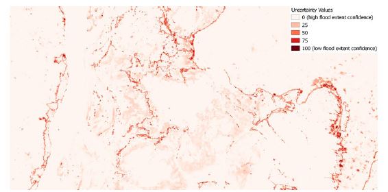
How to interpret a certain uncertainty value for a pixel?
GFM's flood detection estimate is provided through an ensemble algorithm (details available here. Based on a "consensu-maps" and a -to some extent- arbitrary threshold of classification, uncertainty is a non-negligible factor to be taken into account before any decision making process.
For this very reason, a speficic uncertainty-related product is produced and associated to every computed flood detection extent, offering the end user a clear and immediate information on the confidence of the estimate in terms of percentage.
This has a value in the range of [0, 100], where values towards 100 indicate high confidence in the ensemble flood extent detection approach. Consequently, uncertainty information provided along with the map product communicates how much confidence is associated with the S-1 classification. End users can then use highly certain flood map products to identify resource requirements over areas of flood exposure to make timely emergency response decisions.
More specifics are also available on the dedicated section of the PUM.
For any further information please contact the User Support.

