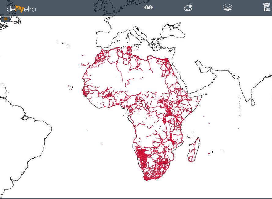
Roads Network Africa OSM(eng)
| Layer name | Roads Network - Africa (OSM) | |
| Tag | Exposures | |
| Folder | ||
| Source | Open Street Map | |
| Description | The road conditions in African countries do not always correspond to their economic and social role. A road typology should be based on the road importance and not on the surface or the visual appearance of a road. In some areas, major roads are unpaved and heavily damaged during the rainy season. It is important for remote mappers from other countries to adapt to this reality. In some areas, such as the Sahel, it is also important to consider the density of the road network.
This highway typology is used for African countries and other regions in Asia or Latin-America with similar characteristics. It is based on mapping experience in various countries, observations and discussions with NGO's and OSM communities in various countries. In some areas, there is a very dense network of roads with many tracks going in all directions. In such a context, it is important to have a hierarchy of roads that highlights the more important ones for economic activities. highway=tertiary is used to highlight roads interconnecting with regional service towns. Also, highway=unclassified corresponds to minor roads. It is important to distinguish these rural roads interconnecting villages from tracks going to the outskirts of villages or service roads (ie. private roads) going for a short distance to houses. Please note that a highway=track is not a more primitive construction class of a residential road, if you're in doubt of what tag to use, use highway=road, keeping in mind that many highways are formed by repeated foot and animal traffic. The individual mappers should classify a particular road when adding it to the OSM database. Once the network of road is completed, we have an overview of the road network, and experienced mappers can then revise this network and ensure that the hierarchy of major roads is clearly established. More info at: OSM - African Roads Network webpage | |
| Screenshot |
