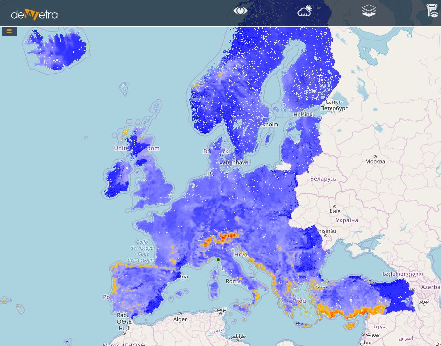
RISICO Europe(eng)
| Layer name | RISICO Europe | |
| Tag | Wildfire Models | |
| Folder | ||
| Source | [www.cimafoundation.org CIMA Research Foundation] | |
| Description | RISICO model is a fire danger rating system that is adapted to the vegetation cover of the Mediterranean (Fiorucci et al., 2005; 2007; 2008; 2011). RISICO integrates meteorological observations and forecasts from a NWP Limited Area Model (LAM) and ECMWF-IFS with vegetation cover and topography data. Behaviour of fire among different fuel types and effect of slope are considered to forecast fire spread beyond the weather. It is based on similar principles as the Canadian Fire Weather Index (FWI) in GEFF, but with a more detailed spatial and temporal scale, and process description. Forecasting experience revealed that it is important to take into account the persistency of very low fine dead fuel moisture content within 1-2 days. RISICO Europe id fed by the meteorological output of the global NWP model ECMWF-IFS and the space-time resolution is 3 hourly and 5km with a lead time of 10 days.. Three modules are embedded within the RISICO architecture, which correspond to the main outputs of the system. First, it is necessary to represent the dynamic of the dead fine fuel moisture, which is directly related with the fire ignition probability. Then, the potential fire spread model has to be considered in order to quantitatively describe the potential behaviour of a wildfire, in absence of any extinguishing action. The scheme in the figure above is applied to each cell in which the entire spatial domain is discretized. The spatial resolution of the output of the RISICO model span from 10km to 50m depending by the heterogeneity of the considered area and by the availability of high resolution input data. The input to the model are then:
More info at: RISICO documentation on line | |
| Screenshot | ||
| Properties | ||
| Available variables | Dead Fine Fuel Moisture Conditions, Potential Rate of Spread, Potential Fire line Intensity. | |
| Available accumulations | ||
| Available interpolation algorithms | ||
| Available filters | ||
| Spatial aggregations |
