Difference between revisions of "GFS 0.25°(eng)"
(Created page with " [Home] - [Forecast Models] {| class="wikitable" |- |style="background-color: orange;" |Layer name |style="background-color: orange;"|G...") |
(No difference)
|
Revision as of 22:38, 16 November 2018
| Layer name | GFS 0.25° | |
| Tag | Meteorological Models | |
| Folder | ||
| Source | NOAA-NCDC | |
| Description | The Global Forecast System (GFS) is a weather forecast model produced by the National Centers for Environmental Prediction (NCEP). Dozens of atmospheric and land-soil variables are available through this dataset, from temperatures, winds, and precipitation to soil moisture and atmospheric ozone concentration. The entire globe is covered by the GFS at a base horizontal resolution of 18 miles (28 kilometers) between grid points, which is used by the operational forecasters who predict weather out to 16 days in the future. Horizontal resolution drops to 44 miles (70 kilometers) between grid point for forecasts between one week and two weeks.
The GFS model is a coupled model, composed of four separate models (an atmosphere model, an ocean model, a land/soil model, and a sea ice model), which work together to provide an accurate picture of weather conditions. Changes are regularly made to the GFS model to improve its performance and forecast accuracy. It is a constantly evolving and improving weather model. Gridded data are available for download through the NOAA National Operational Model Archive and Distribution System (NOMADS). Forecast products and more information on GFS are available at the GFS home page. Prior to January 2003, the GFS was known as the GFS Aviation (AVN) model and the GFS Medium Range Forecast (MRF) model. GFS-AVN and MRF products are a collection from NCEP's NOAAPort. Grids, domains, run frequencies, and output frequencies have changed over the years. More info at: GFS documentation on line | |
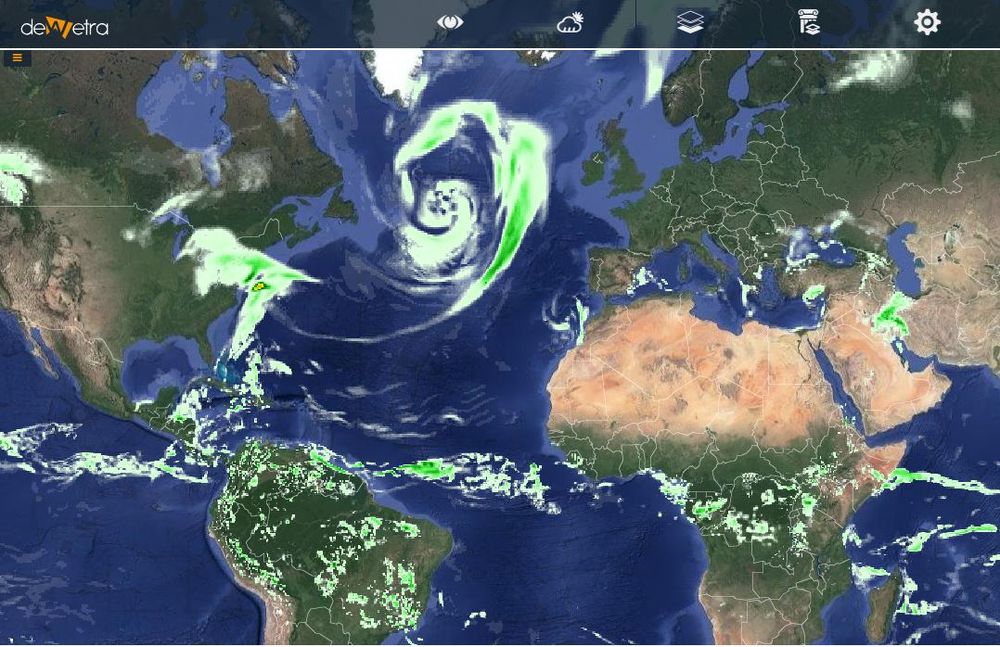
| Screenshot | File:All leg gfs.JPG Legend | |
| Properties | ||
| Available variables | Rainfall, 2-metre Temperature, 10-metre wind, 2-metre relative humidity | |
| Available accumulations | 3, 6, 12, 24, 48 and 72 hours | |
| Available interpolation algorithms | ||
| Available filters | ||
| Spatial aggregations |
