Difference between revisions of "Copernicus SCE(eng)"
From MyDewetra World
(Created page with " [Home] - [Observations] <br/> {| class="wikitable" |- |style="background-color: orange;" |Layer name |style="background-color: orange;"|Sn...") |
(No difference)
|
Latest revision as of 13:20, 16 November 2018
| Layer name | Snow Cover Extent (SCE) | |
| Tag | Snow | |
| Folder | ||
| Source | Copernicus Global Land Service | |
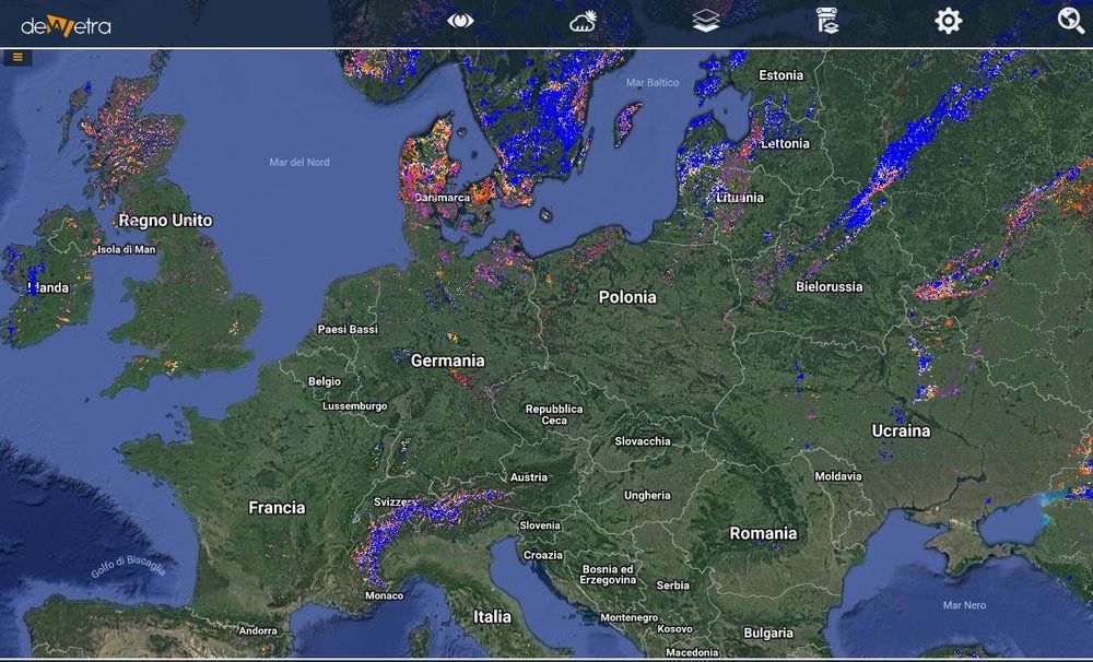
| Description | Snow cover is highly sensitive to changes in temperature (freezing/thaw) and precipitation (snowfall, rain, hail) and affects directly the albedo and thus the energy balance of the Earth’s surface. It is a relevant input parameter for weather forecasts and climate change observations. Snow stores a significant mass of water and, with its high dynamic, has a strong effect on regional and global energy and water cycles. Together with the Snow Water Equivalent (SWE) product from passive microwave sensors, that provides information on the water content in the snow on plain areas, with limitations in mountainous areas, up-to-date knowledge about the snow cover extent is an important information for hydrological runoff modelling and for assessing natural hazards such as flood events. Snow cover is specified as Essential Climate Variable (ECV) by the Global Climate Observing System (GCOS). More info at: Copernicus SCE documentation on line | |
| Screenshot | ||
| Properties | ||
| Available variables | Snow cover extent-500m (for Europe only), Snow cover extent-1km (northern hemisphere) | |
| Available accumulations | ||
| Available interpolation algorithms | ||
| Available filters | ||
| Spatial aggregations |
