Difference between revisions of "River Network (Global)(eng)"
From MyDewetra World
| Line 14: | Line 14: | ||
|- | |- | ||
|Source | |Source | ||
| − | |[https://www.naturalearthdata.com | + | |[https://www.naturalearthdata.com Natural Earth] |
|- | |- | ||
|Description | |Description | ||
| − | | | + | |atural Earth is a public domain map dataset available at 1:10m, 1:50m, and 1:110 million scales. Featuring tightly integrated vector and raster data, with Natural Earth you can make a variety of visually pleasing, well-crafted maps with cartography or GIS software. |
| − | + | Natural Earth was built through a collaboration of many volunteers and is supported by NACIS (North American Cartographic Information Society), and is free for use in any type of project (see our Terms of Use page for more information). | |
| − | + | More info at: [https://www.naturalearthdata.com/downloads/10m-physical-vectors/ NE download website] | |
| − | |||
| − | |||
| − | |||
| − | More info at: [https://www. | ||
|- | |- | ||
Latest revision as of 09:41, 24 April 2020
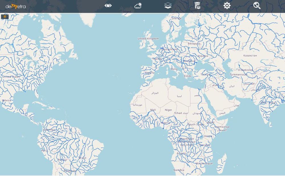
| Layer name | River Network (Global) | |
| Tag | Basic | |
| Folder | ||
| Source | Natural Earth | |
| Description | atural Earth is a public domain map dataset available at 1:10m, 1:50m, and 1:110 million scales. Featuring tightly integrated vector and raster data, with Natural Earth you can make a variety of visually pleasing, well-crafted maps with cartography or GIS software.
Natural Earth was built through a collaboration of many volunteers and is supported by NACIS (North American Cartographic Information Society), and is free for use in any type of project (see our Terms of Use page for more information). More info at: NE download website | |
| Screenshot |

