Difference between revisions of "GloFAS&EFASwebportals"
| (2 intermediate revisions by the same user not shown) | |||
| Line 23: | Line 23: | ||
[[file:social.jpg]] | [[file:social.jpg]] | ||
| − | Once logged in, [[PRODUCTS | '''GFM products''']] are listed in the GFM Data scroll down menu, as in the following figure | + | Once logged in, [[PRODUCTS | '''GFM products''']] are listed in the '''GFM Data scroll''' down menu, as in the following figure |
| − | [[file:gfm_data]] | + | [[file:gfm_data.jpg]] |
| + | Upon clicking on '''GFM Data''', the system will display the list of the 11 datasets provided by the GFM service: <br> | ||
| + | as users choose a specific layer, the MapViewer is prompted to display the latest available data for each tile. <br> | ||
| + | Previous data might be selected by..... | ||
---- | ---- | ||
[[GFMS | [Home]]] - [[DATA ACCESS | [DATA ACCESS]]] | [[GFMS | [Home]]] - [[DATA ACCESS | [DATA ACCESS]]] | ||
Latest revision as of 13:45, 4 February 2021
Users are granted full access to GFM products through the webportals of both GloFAS and EFAS
GFM data on GloFAS
The Global Flood Awareness System (GloFAS) is the global flood service of the European Commission Copernicus Emergency Management Service, an operational system monitoring and forecasting floods across the world.
GFM products are made available within the GloFAS Map Viewer that can be accessed here.
In order to be allowed to the Map Viewer, users are requested to register to the service by clicking on
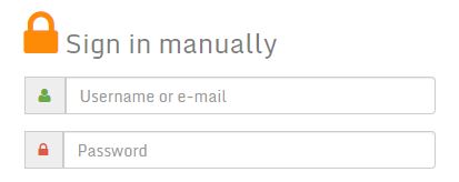
Once registered, the MapViewer can be accessed by tiping their account details in the following form:
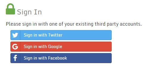
Users are also offered the chance to sign in to the MapViewer by means of their [Google], [Twitter] or [Facebook] accounts:
Once logged in, GFM products are listed in the GFM Data scroll down menu, as in the following figure
Upon clicking on GFM Data, the system will display the list of the 11 datasets provided by the GFM service:
as users choose a specific layer, the MapViewer is prompted to display the latest available data for each tile.
Previous data might be selected by.....


