Difference between revisions of "PR OBS 5 H05(eng)"
From MyDewetra World
(Created page with " [Home] - [Observations] <br/> {| class="wikitable" |- |style="background-color: orange;" |Layer name |style="background-color:...") |
|||
| Line 34: | Line 34: | ||
|- | |- | ||
|Available variables | |Available variables | ||
| − | | | + | |Rain depth |
|- | |- | ||
|Available accumulations | |Available accumulations | ||
Revision as of 09:13, 16 November 2018
| Layer name | PR OBS 5 - H05 | |
| Tag | Rain | |
| Folder | ||
| Source | ||
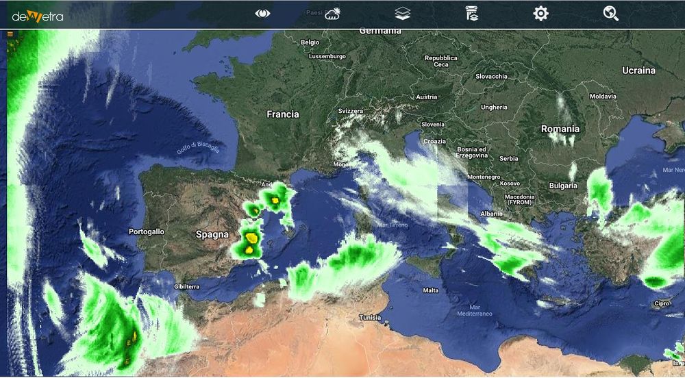
| Description | Derived from precipitation maps generated by merging MW images from operational sun-synchronous satellites and IR images from geostationary satellites (i.e., products PR-OBS-3 and PR-OBS-4). Presented in polar stereographic projection. Coverage: The rectangular area of the stereographic projection that includes the H-SAF area [25-75°N lat, 25°W-45°E long] | |
| Screenshot | ||
| Properties | ||
| Available variables | Rain depth | |
| Available accumulations | 1, 3, 6, 12 and 24 hours | |
| Available interpolation algorithms | ||
| Available filters | ||
| Spatial aggregations |

